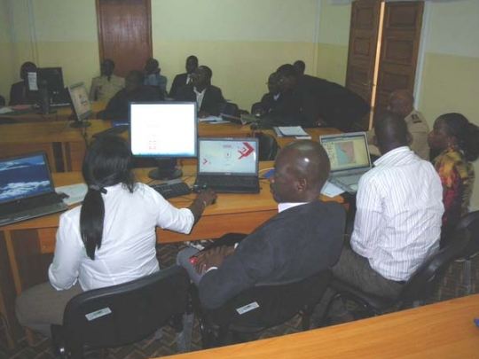
National workshop on the development of sensitivity maps
- Date(s)21-24 Feb 2011
- LocationSenegal (Dakar)
Information
| Activity | National workshop |
|---|---|
| Topic | Sensitivity Mapping |
| Number of Participants | 38 |
| Host | Haute Autorité chargée de la Coordination de la Sécurité maritime, de la Sûreté maritime et de la protection de l’Environnement marin (HASSMAR) |
Objectives
- Provide Senegal with a tool to help identify the most sensitive sites in case of an oil spill
- Train participants on principles and methods to map coastal and lagoon sensitivities
- Define the geographical scope of the project
- Identify the technical aspects related to the development of the maps, taking into account the national characteristics
- Analyse available data to identify actions to integrate it in a Geographic Information System (GIS)
- Structure GIS and integrate collected data
- Start the sensitivity mapping project in a specific coastal area
- Develop the methodology to develop strategic maps
- Develop an action plan and a timeline to finalise the project with tangible results