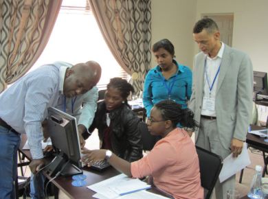
National workshop on the finalisation of Sensitivity Maps
- Date(s)11-13 Mar 2013
- LocationNamibia (Walvis Bay)
Information
| Activity | National workshop |
|---|---|
| Topic | Sensitivity Mapping |
| Number of Participants | 32 |
| Host | Ministry of Works and Transport |
Objectives
- Remind participants of the methodology according to the IPIECA Guidelines on sensitivity mapping for oil spill response
- Present the key elements to be included in each type of maps, and their role in the development of the NOSCP
- Finalize the sensitivity mapping project adapted to the Namibian coastal context, in particularly the method to identify the most sensitive sites
- Assess the existing data and the maps developed since the last GI WACAF workshop organised in 2010, in order to select the relevant data to be included, and to fill the gaps in the existing maps
- Finalise the sensitivity maps using a Geographic Information System
- Develop an action plan to integrate the sensitivity maps in the NOSCP